Edwards Aquifer Authority
Environmental Data Portal
The Edwards Aquifer Authority (EAA) collects environmental data from several sites throughout the Edwards Aquifer region. These continuous data sets provide the foundation for scientific research and policy decisions. This EAA Environmental Data Portal provides public access to view and download the observed measurements on demand.
Unless otherwise noted, all data provided are provisional and subject to revision. The EAA assumes no liability for any damages resulting from its use.
AQUIFER CONDITIONS
The table below shows the difference in water levels and springflow between the current values and historical averages of our index wells and spring systems.
For more detailed information, please visit the Aquifer Conditions page.
| San Antonio Pool (J-17) | Uvalde Pool (J-27) | Comal Springs | San Marcos Springs | |||
| Difference From Historical Average | 0.00 | 0.00 | 0.00 | 0.00 |
SITE LOCATIONS
The map below shows the locations of all active and historical EAA continuous data collection sites.
Use the menu in the upper right corner of the map to toggle layers and site types. Click the location to view more information about the site.
SITE TYPES
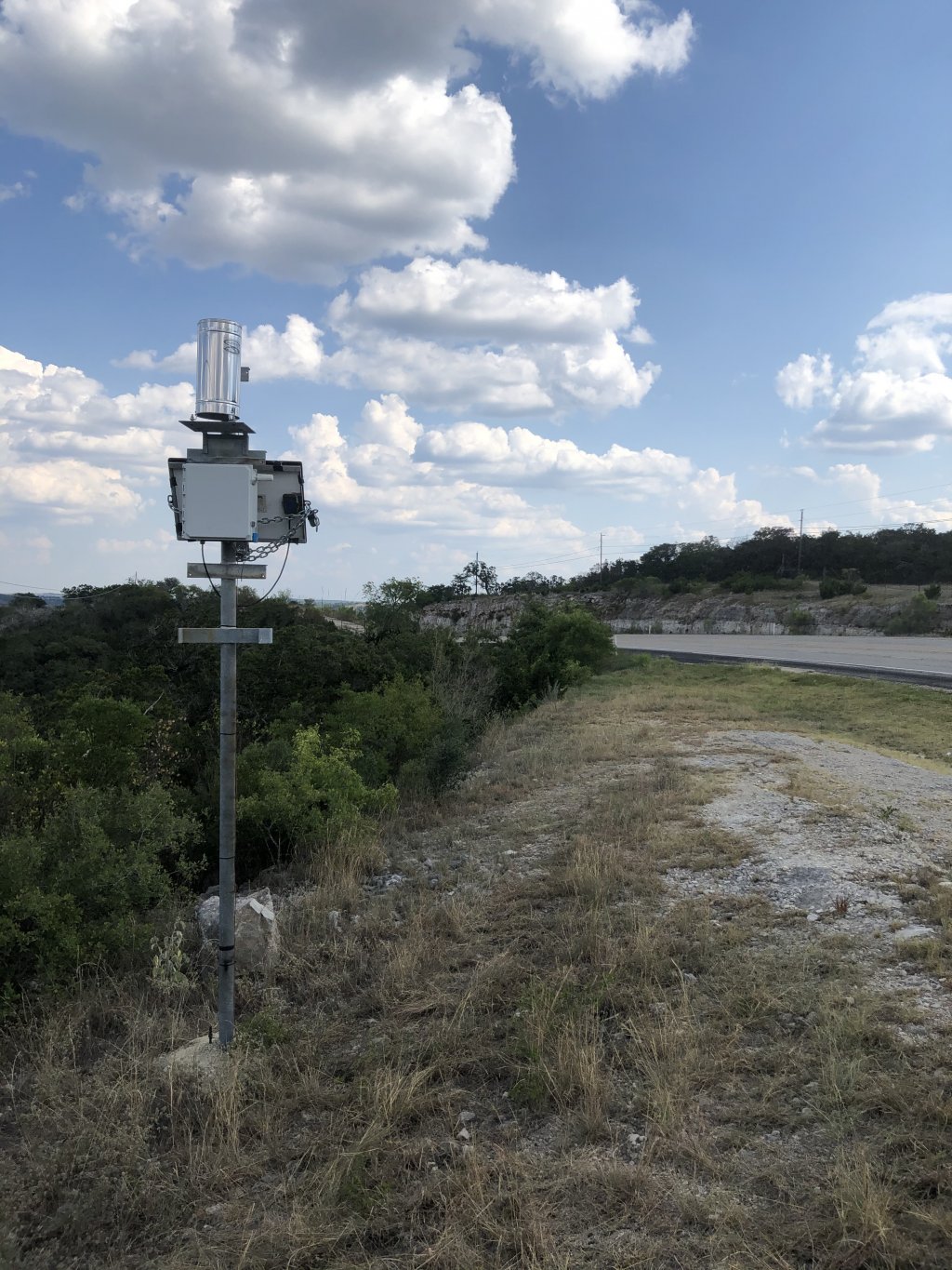
In order to better understand the hydrologic cycle, the EAA collects several different types of continuous data.
Click on the links below to get more information on each site type.
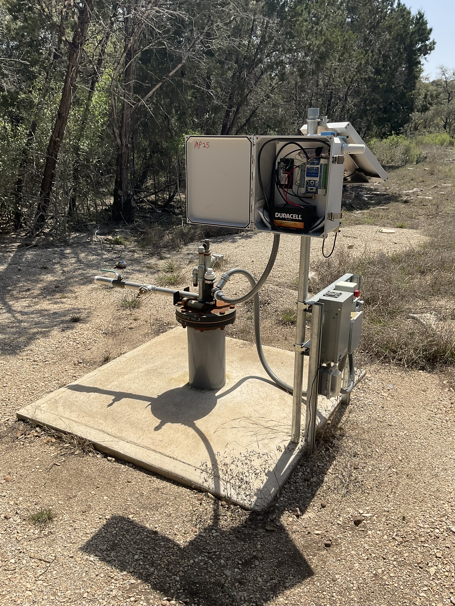

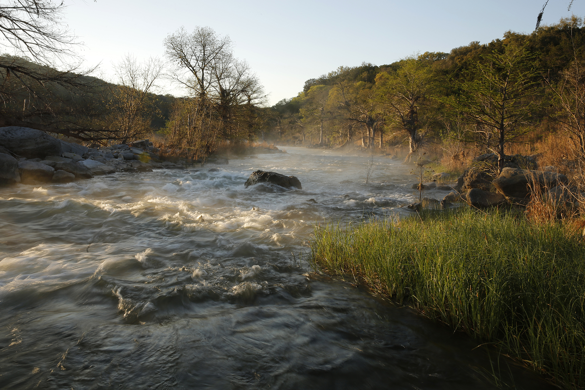
Springs & Streams
- Gauge Height
- Dissolved Oxygen
- Specific Conductivity
- Turbidity
- Water pH
- Water Temperature
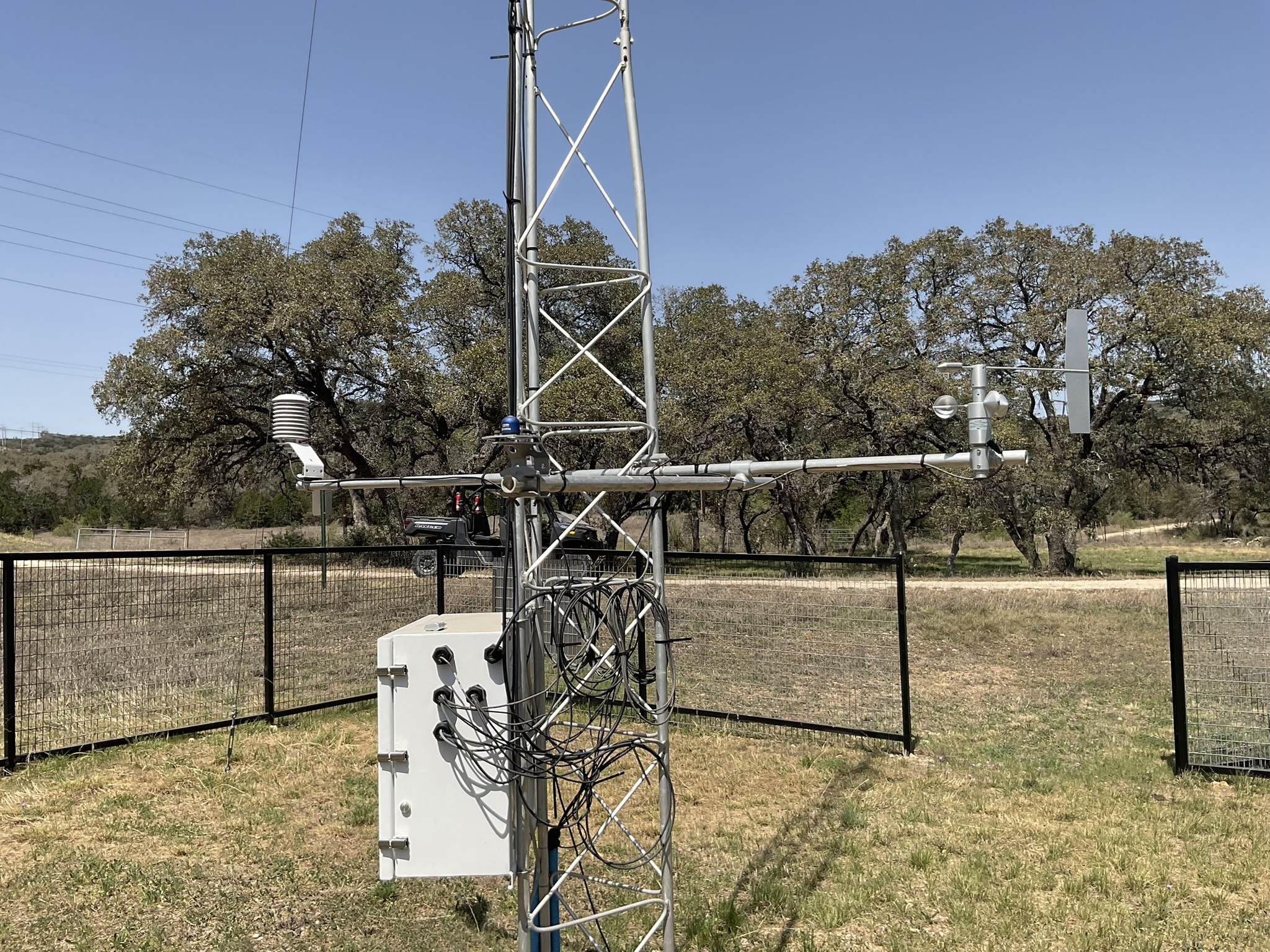
Weather Stations
- Air Temperature/Pressure
- Dew Point
- Relative Humidity
- Solar Radiation
- Wind Direction/Speed
- Soil Moisture
- Rainfall Rate
SITE INFORMATION
The table below shows detailed information for all active and historical EAA continuous data collection sites.
Click the Site Id to view more information about the site.
| Site Id | Name | Type | Aquifer Zone | Basin | County | Latitude | Longitude | Land Elevation | Status |
|---|
RESEARCH PROJECTS
The Edwards Aquifer Authority is actively involved in a variety of projects aimed at managing, enhancing, and protecting the Edwards Aquifer to ensure its sustainability. These efforts include water conservation initiatives, habitat restoration, and monitoring programs to safeguard the aquifer's health and water quality.
EXTERNAL RESOURCES
Please note that the Edwards Aquifer Authority does not endorse or take responsibility for the content or accuracy of the following links. These links are provided for informational purposes only and are not reflective of the views or opinions of the EAA.
- San Antonio River Authority
- Guadalupe-Blanco River Authority
- Lower Colorado River Authority
- Texas Water Development Board
- Comal and San Marcos Springflow
- TexMesonet
- Water Data for Texas
- National Water Dashboard
- National Water Quality Monitoring
- National Weather Service
- National Oceanic and Atmospheric Administration

For questions or comments send email to data@edwardsaquifer.org.